Northern Europe · Iceland
Northern Europe · Iceland
The Journey
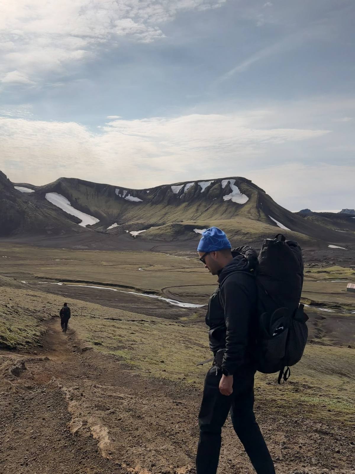
Some trails you walk. This one you cross through — geothermal valleys giving way to black sand deserts, glacial rivers, and moss-covered lava fields that look like nowhere else on earth.
Fifty-five kilometers, two days, and a handful of friends willing to carry their own packs into the middle of nowhere. Landmannalaugar to Þórsmörk isn't just Iceland's most famous trek — it's a study in contrast. Steam rising off rhyolite mountains one hour, glacier-fed river crossings the next. No two kilometers of the Laugavegur look alike, and that's exactly the point.
Trip Notes
Getting to Reykjavik
Take the Flybus from Keflavík Airport to the BSÍ bus terminal in Reykjavik. Book round trip — it works out cheaper than buying each leg separately.
Traveling as a group? Rent a car right at the airport instead. A taxi from Keflavík into downtown Reykjavik is expensive, and while the public bus into the city is an option, it eats into time you don't want to lose on a short trip.
Where to Eat in Reykjavik
The world-famous hot dog — a Reykjavik rite of passage, and worth the hype.
Brauð & Co Bakery — genuinely a must-eat. Go early, the good stuff moves fast.
Getting to the Trailhead
Reserve the highland bus (Flybus) to the Laugavegur trailhead in advance. As with the airport transfer, booking round trip is the cheaper move.
Where We Stayed
We stayed in huts along the trail rather than tents — a warmer, easier way to do the trek if you'd rather not carry camping gear.
Day One: Trailhead at Landmannalaugar to the Álftavatn hut.
Day Two: Álftavatn hut to the Volcano Huts in Þórsmörk.
Meals are available for purchase at both the Álftavatn and Volcano Huts, so you don't need to carry all your food for the full trek.
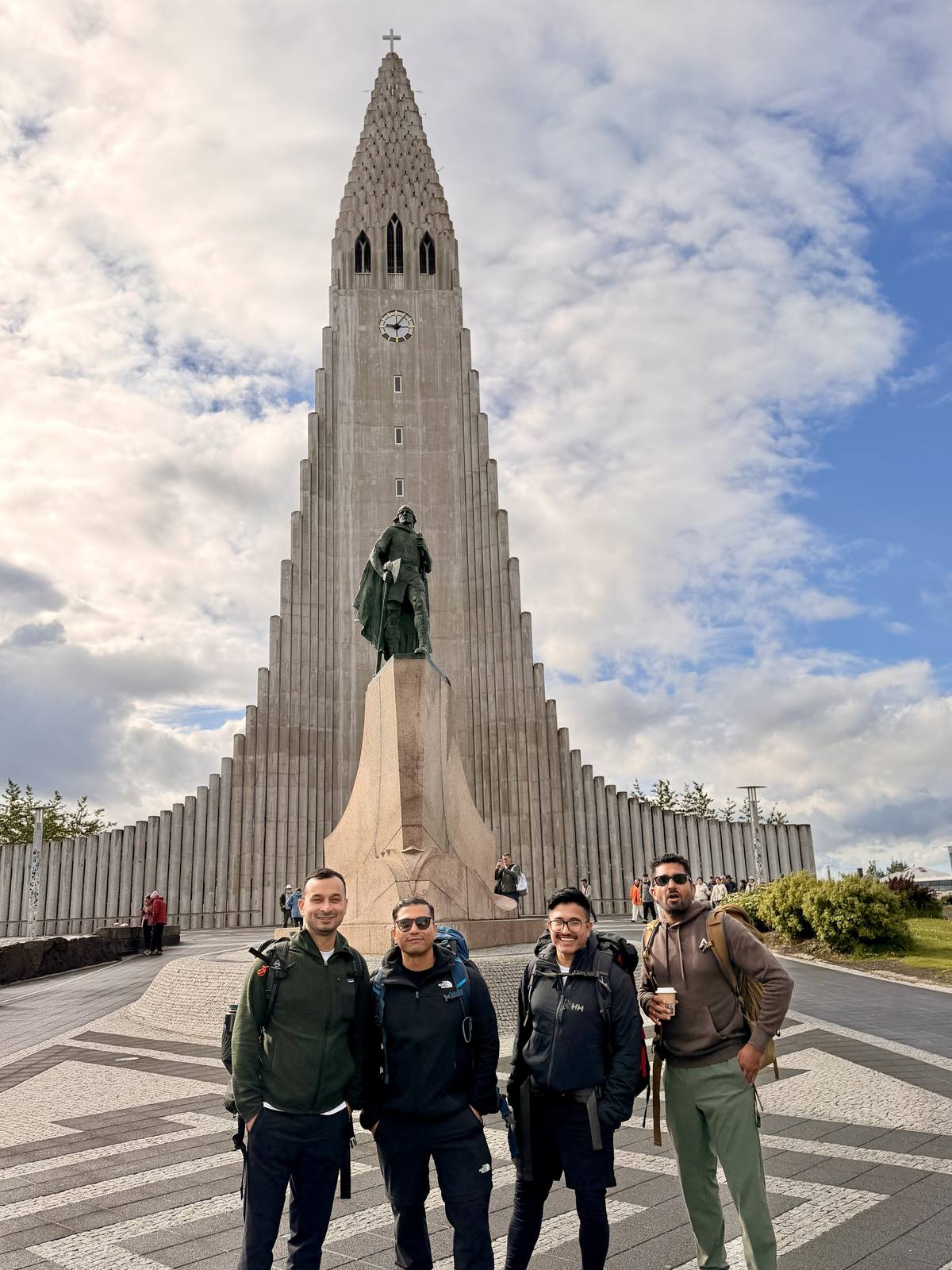
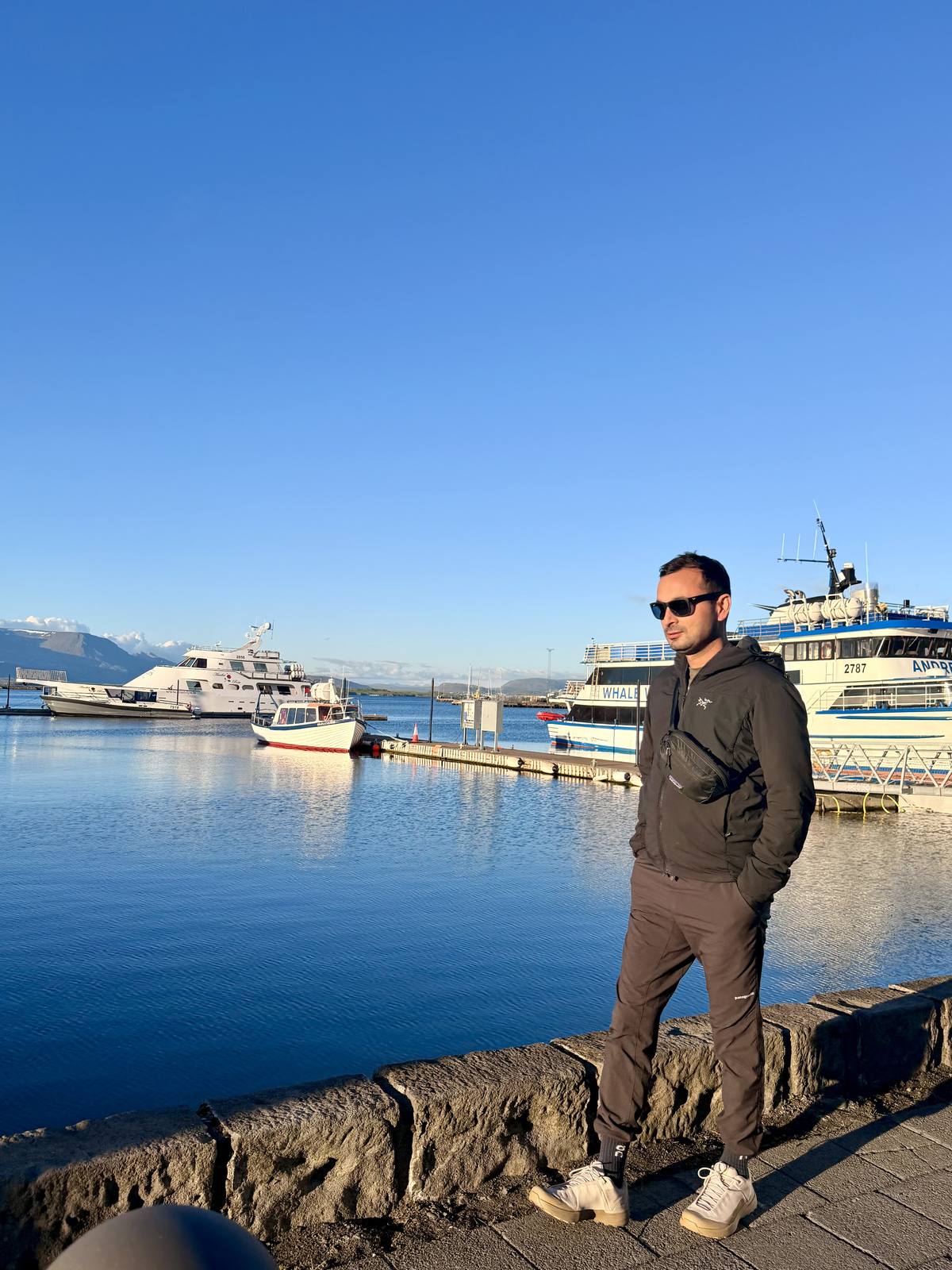
Every good trek starts with a city that doesn't try too hard. Reykjavik gave us that — Hallgrímskirkja catching the evening light, the harbor quiet before the boats went out, gear checked and rechecked outside House of Iceland. The calm before two days of nothing but trail.
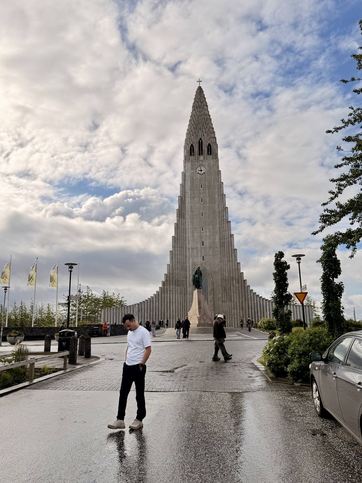
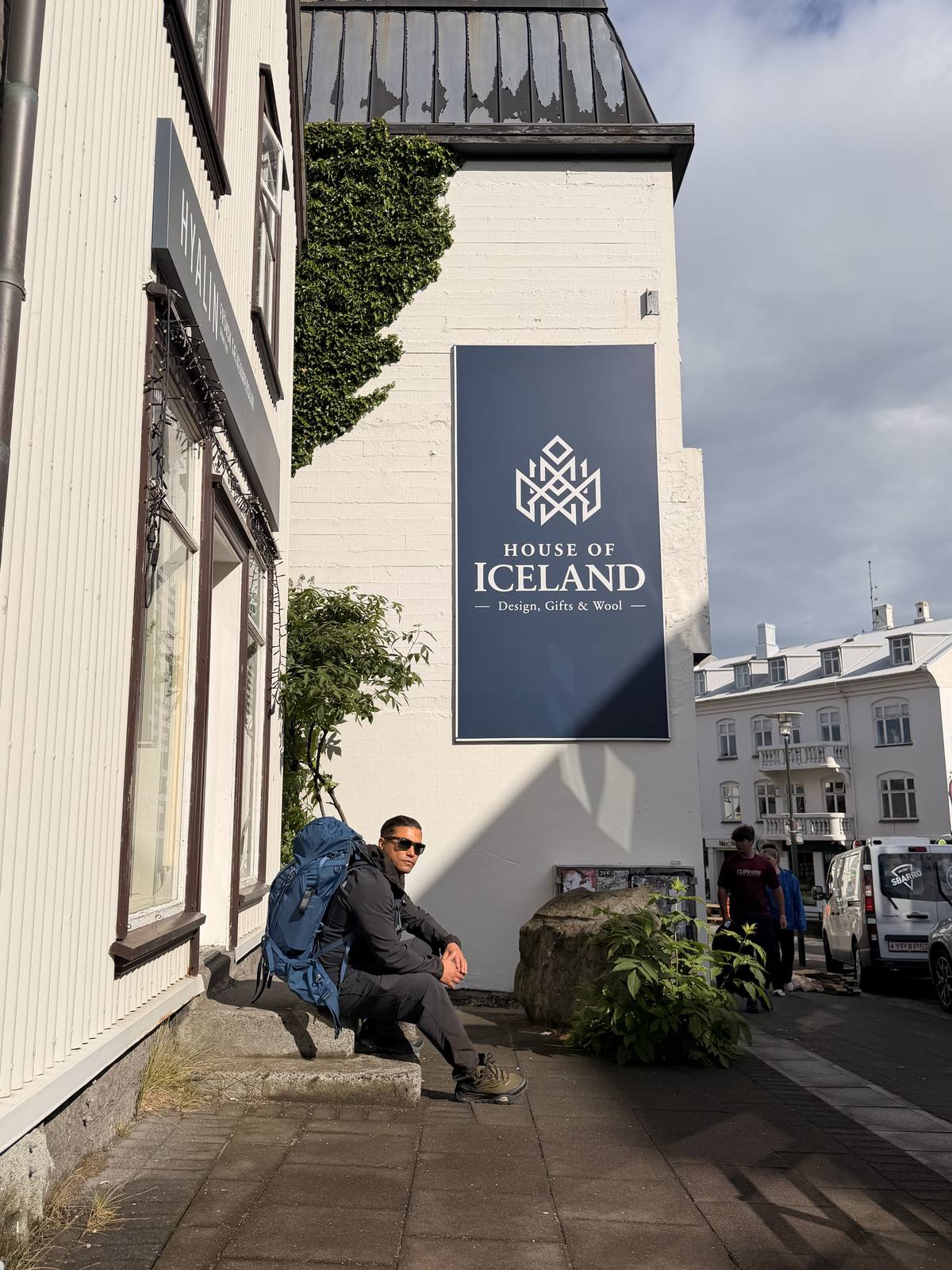
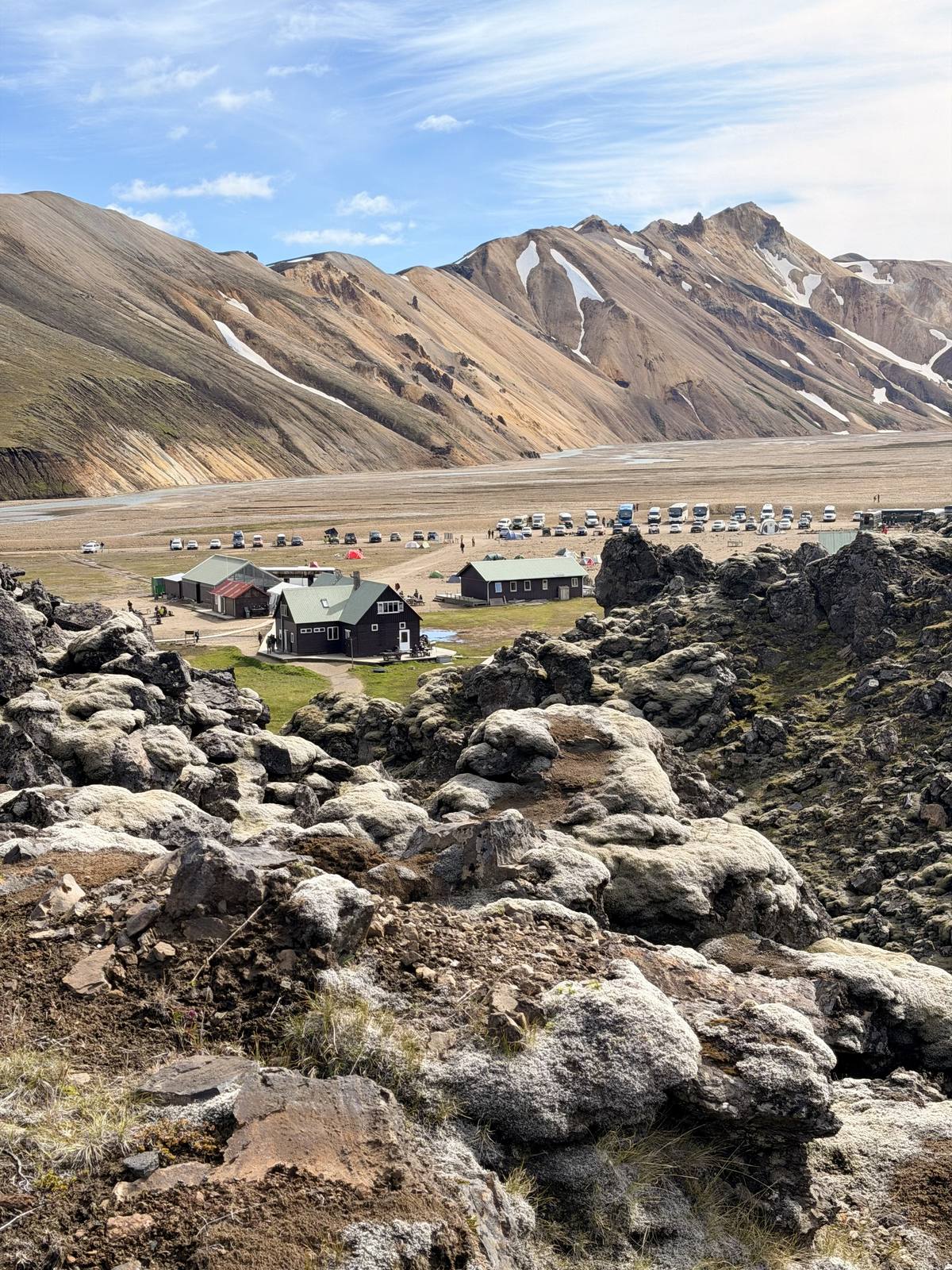
Landmannalaugar — the trailhead, seen from above the lava field
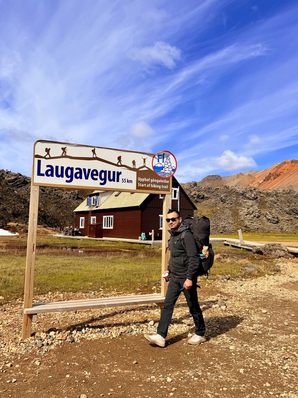
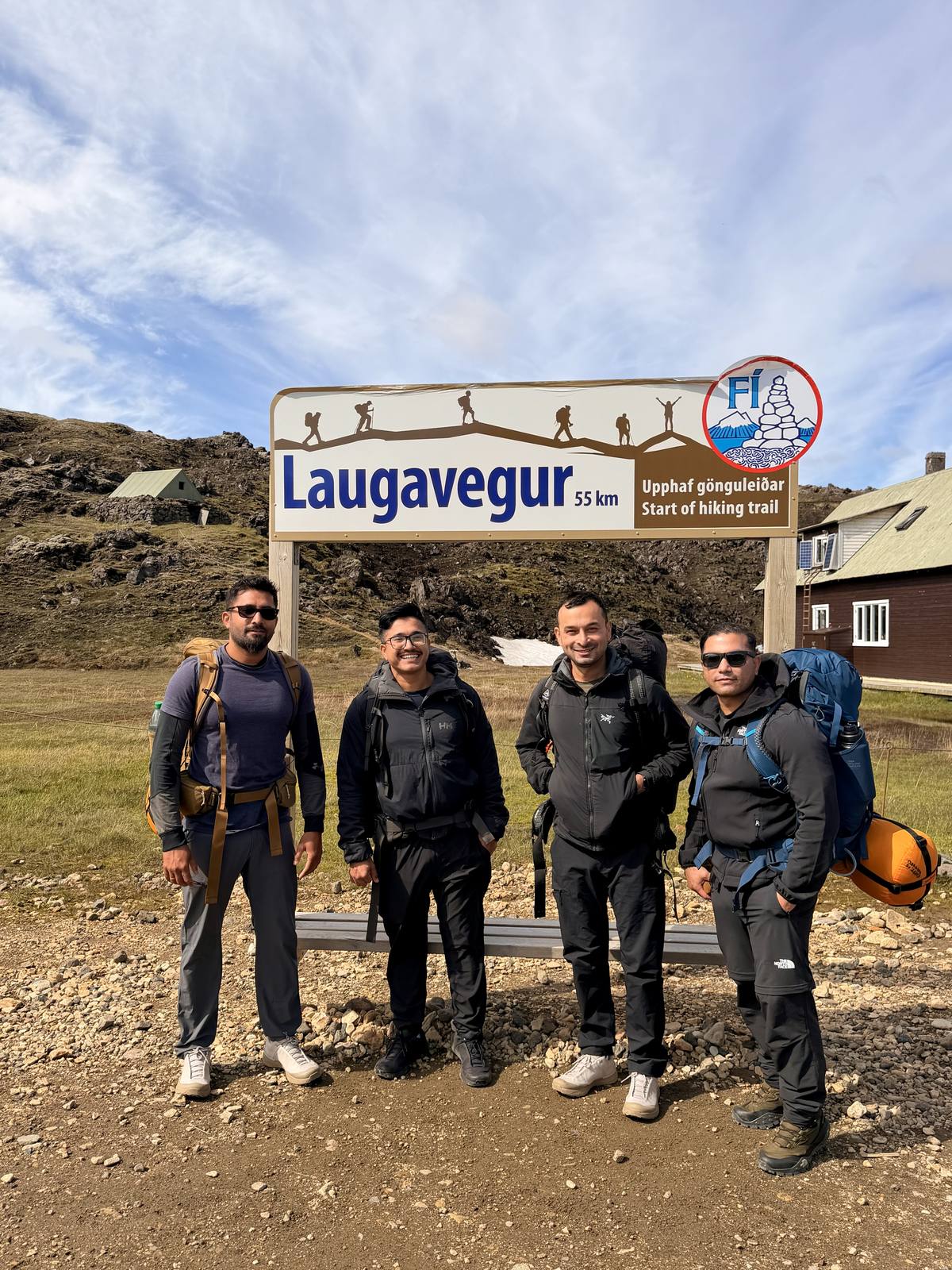
The trail begins at a wooden sign that every Laugavegur hiker photographs — "55 km" stamped above a row of stick-figure walkers, rhyolite mountains streaked orange and red behind it. From there the terrain turns otherworldly fast: steam vents, obsidian fields, and a geothermal pool so blue it looks digitally added. The full first day pushes through the highlands to the Álftavatn hut, where a hot meal and a real bed were waiting at the end of it.
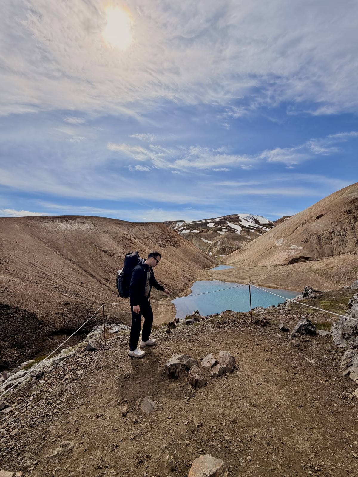
A geothermal pool along the highland stretch — glacier blue against black volcanic rock
"Every mile felt like walking through a different planet — steam one hour, glaciers the next."
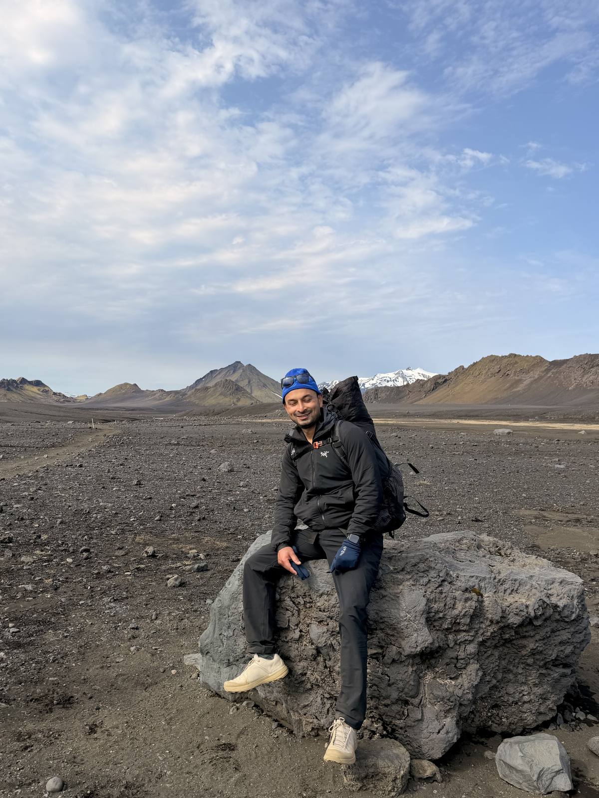
— Raju, Laugavegur TrailThis is where the Laugavegur earns its reputation — long ridgelines with nothing but moss and mountain in every direction, river crossings that numb your feet in seconds, and huts that feel like the last outposts of civilization. We crossed Álftavatn's black sand plains with snow-capped peaks tracking us the entire way before reaching the hut for the night.
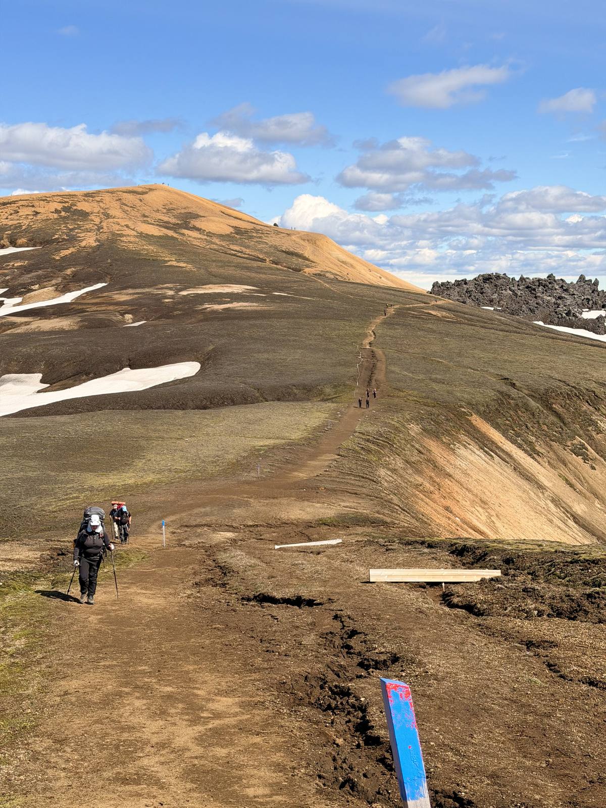
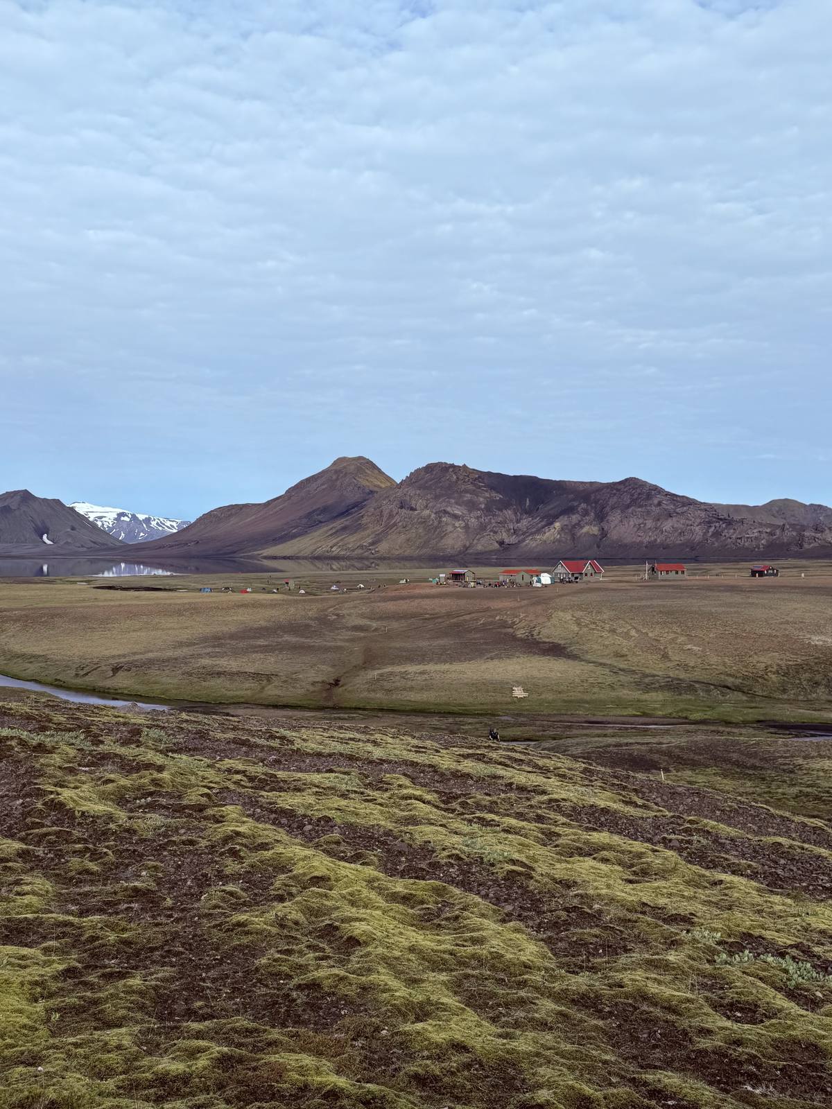
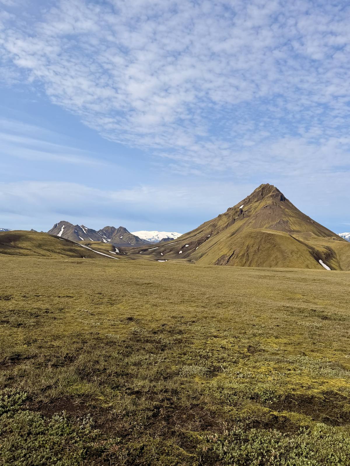
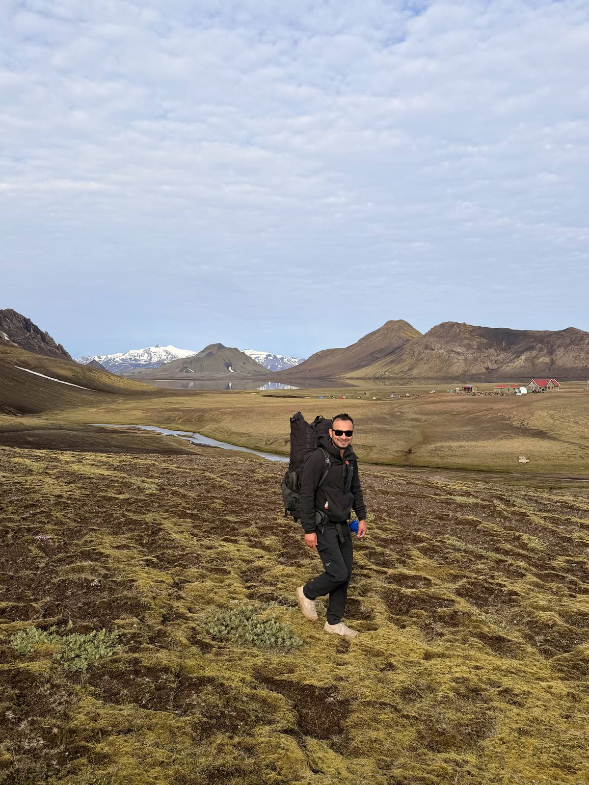
Crossing the highlands toward Emstrur — moss underfoot, glaciers on the horizon
The second day covers the rest of the distance in one long push — the black volcanic desert near Emstrur gives way to birch forest and green valleys as you drop into Þórsmörk, boxed in by three glaciers. We ended the trek at the Volcano Huts, with a hot meal waiting and legs that had earned it.